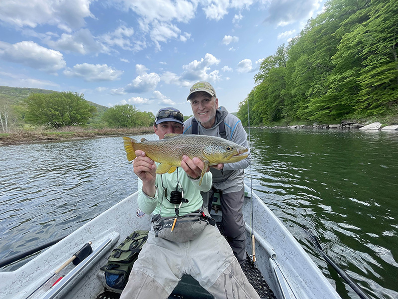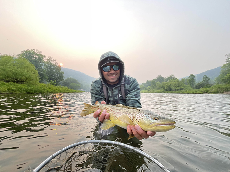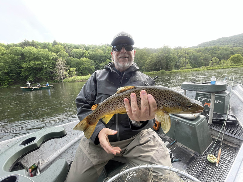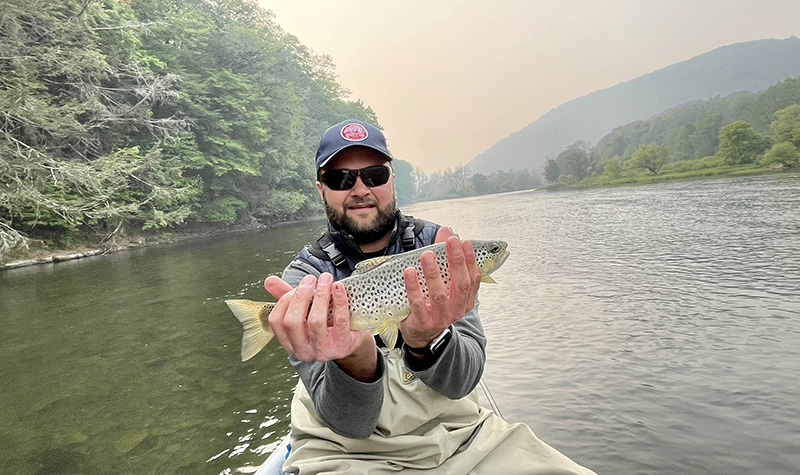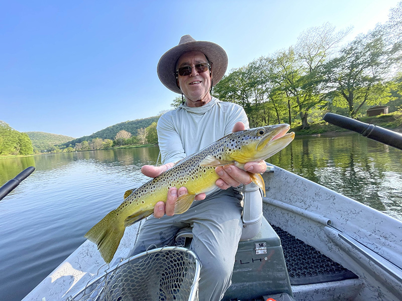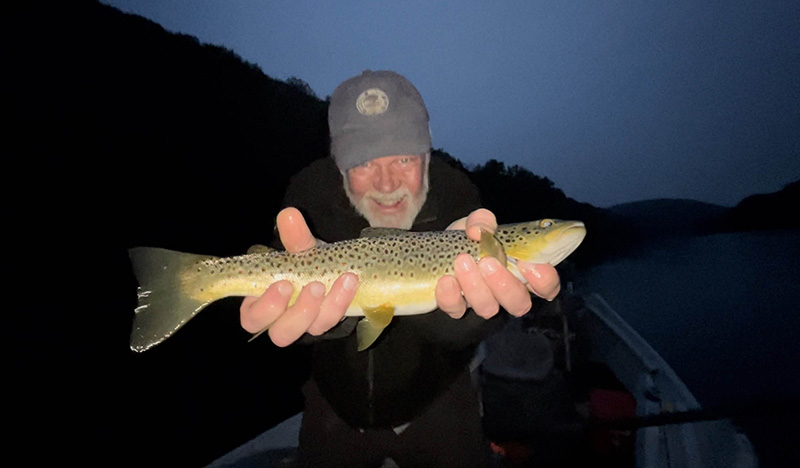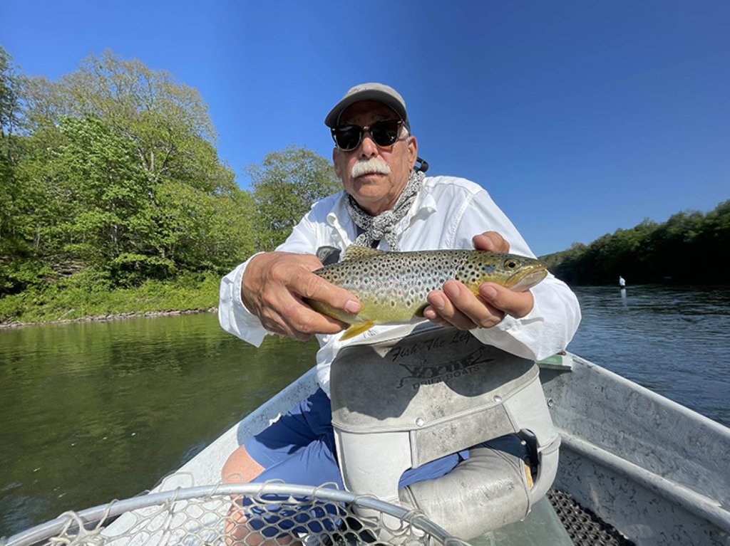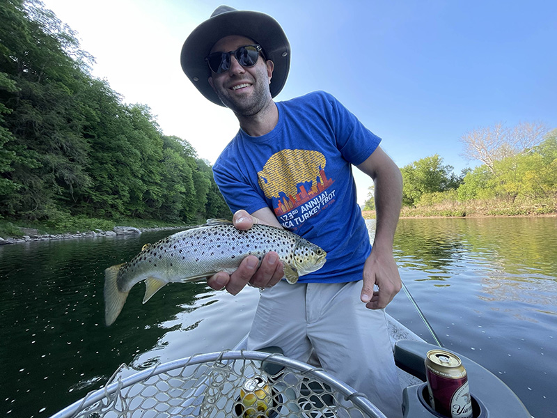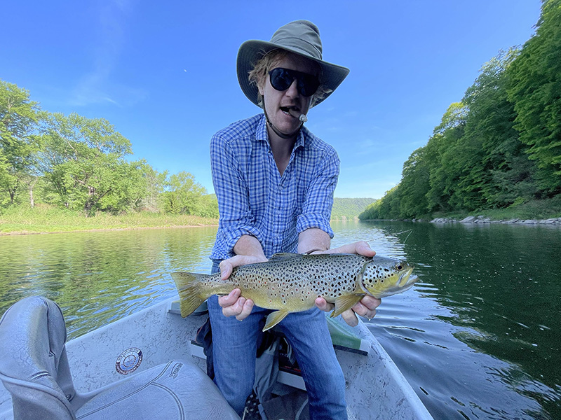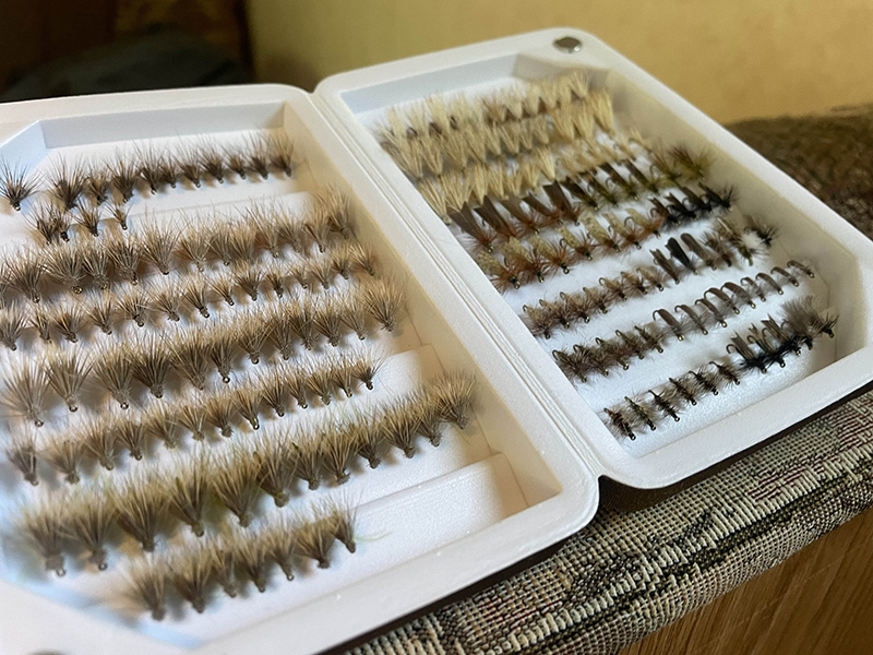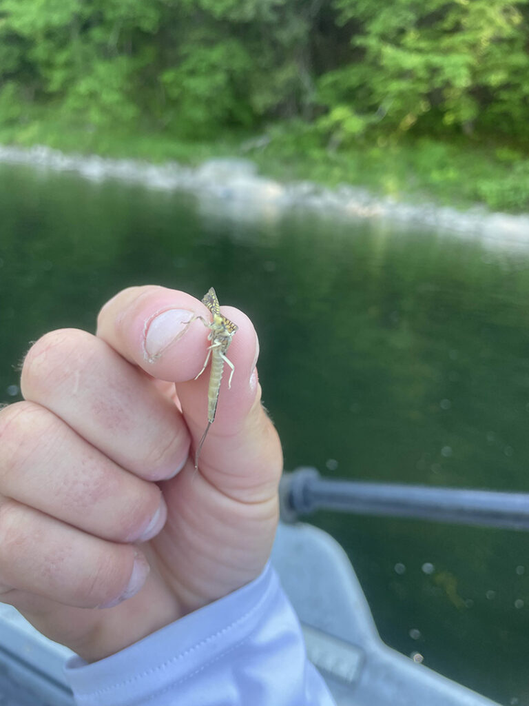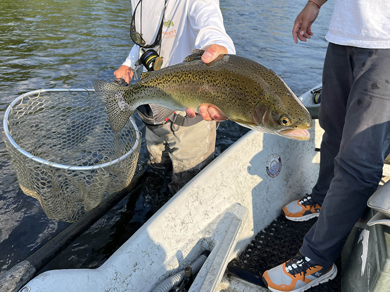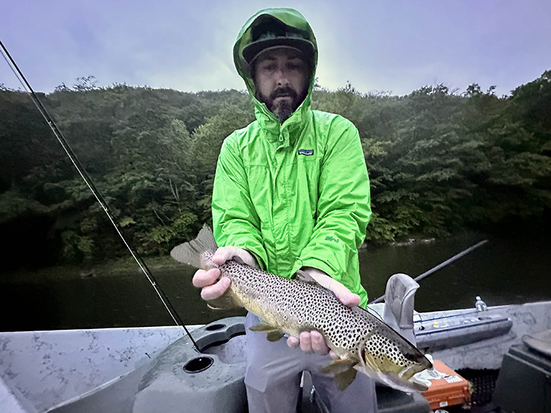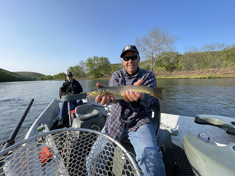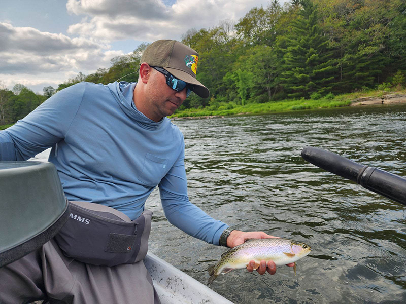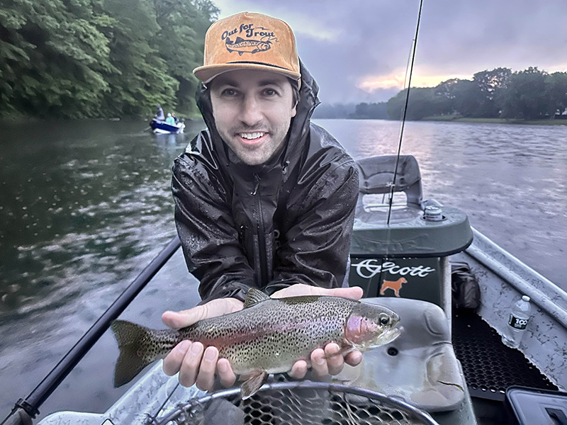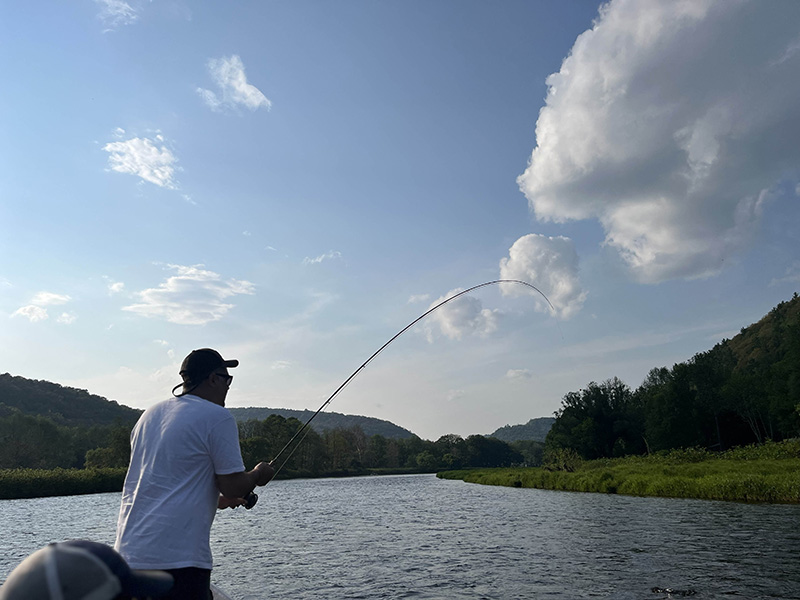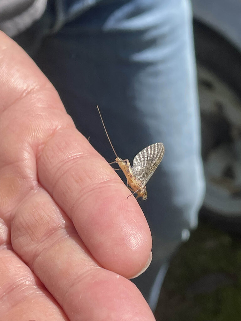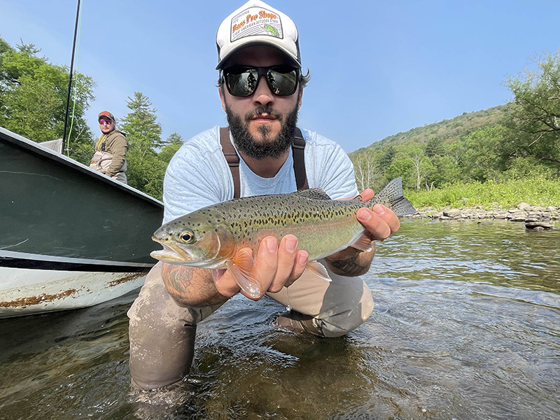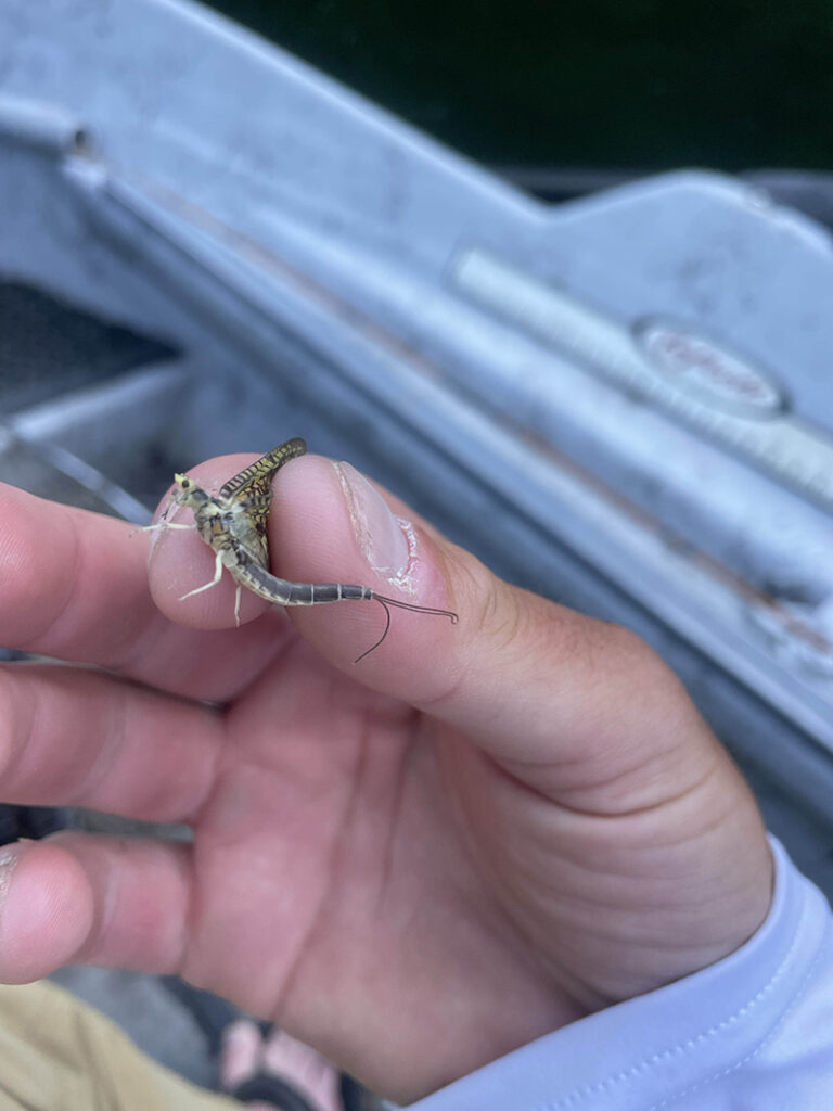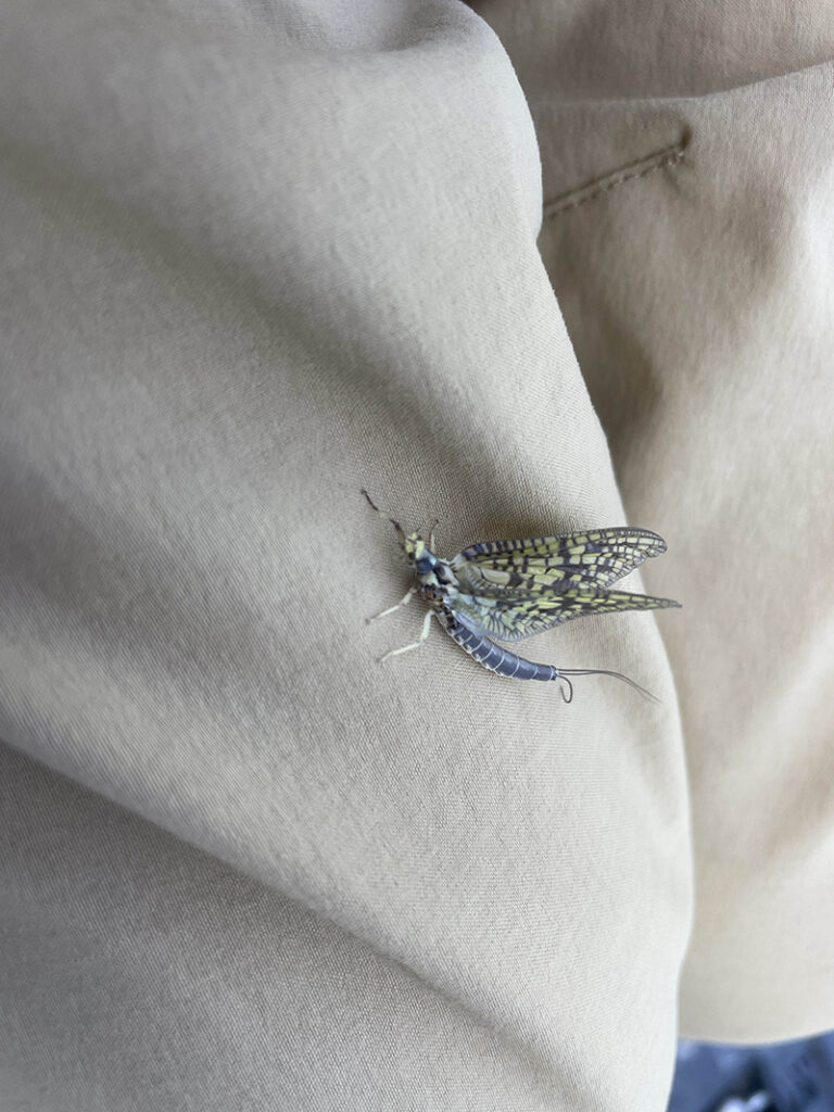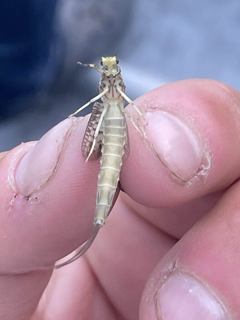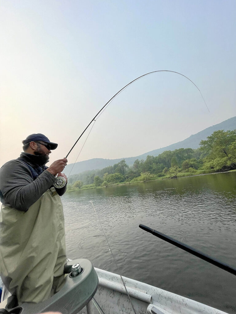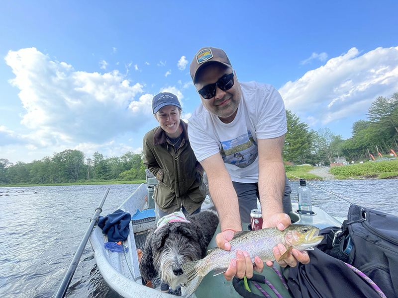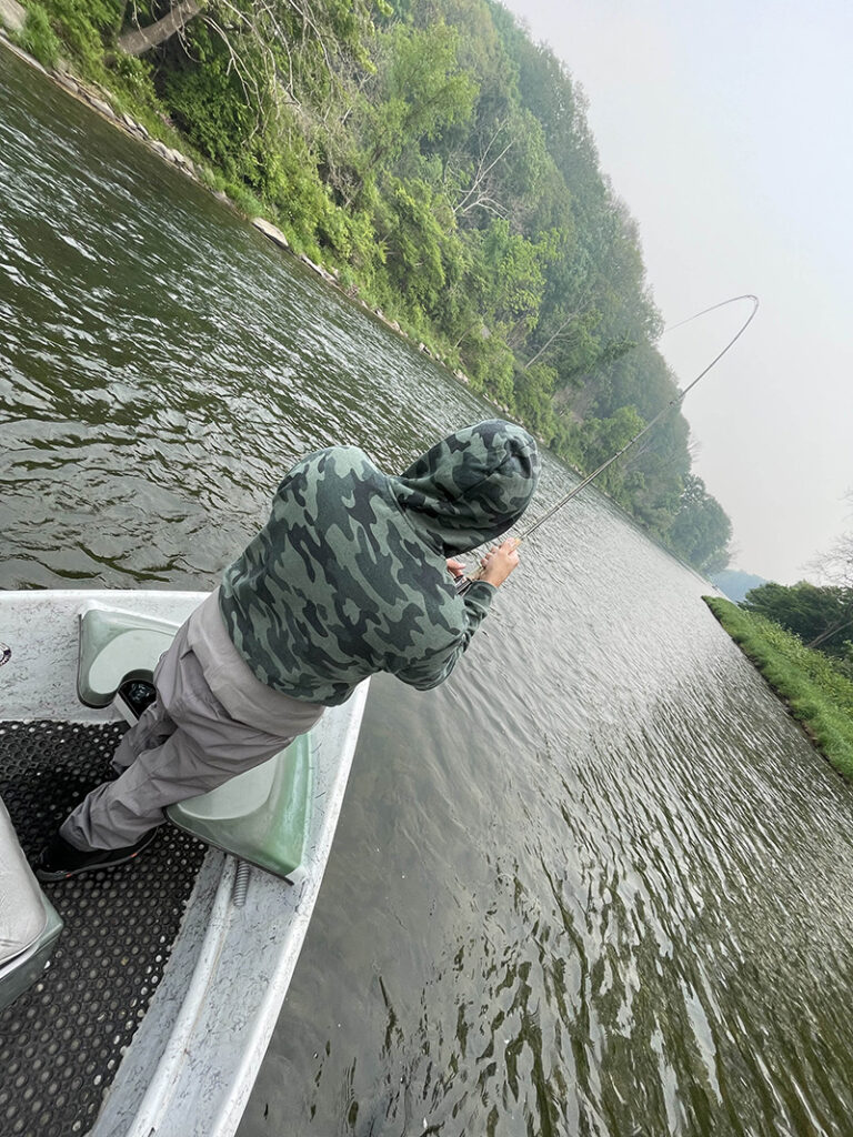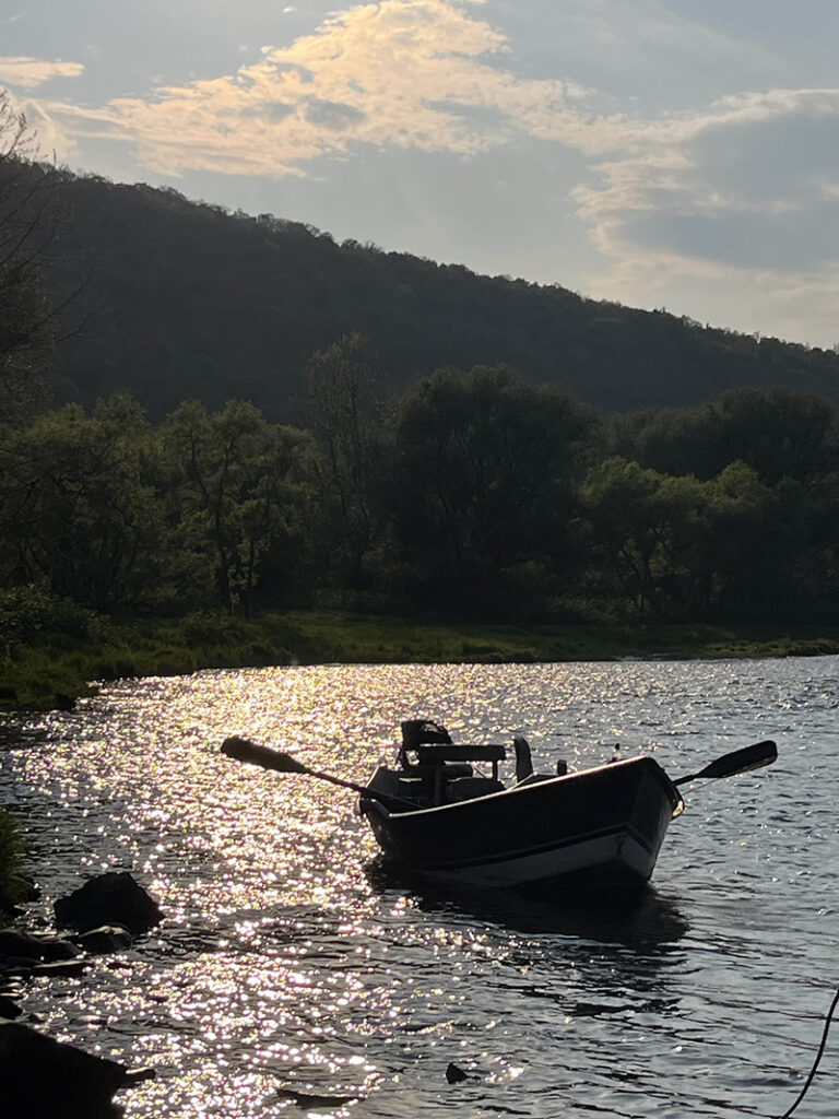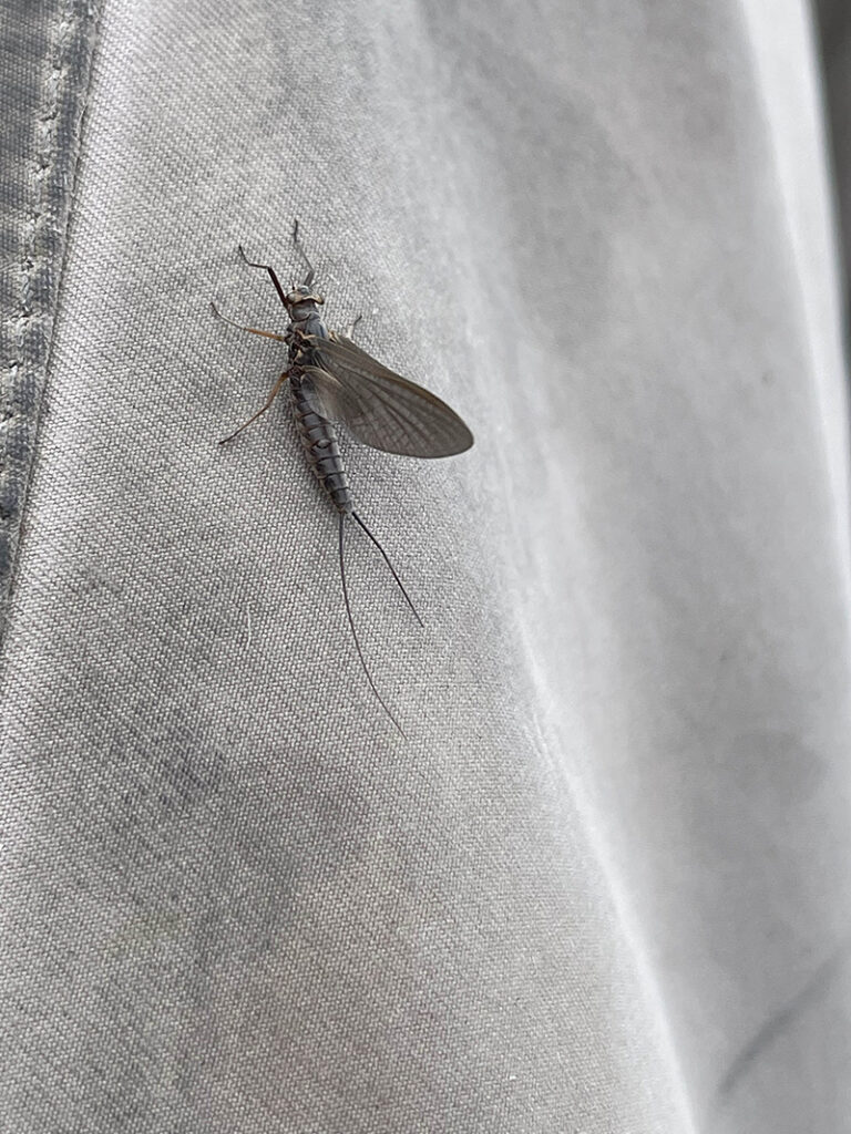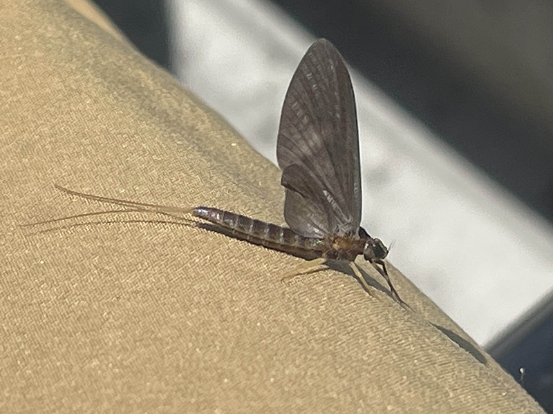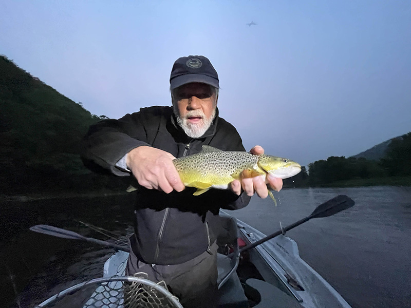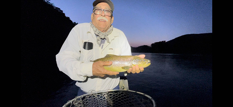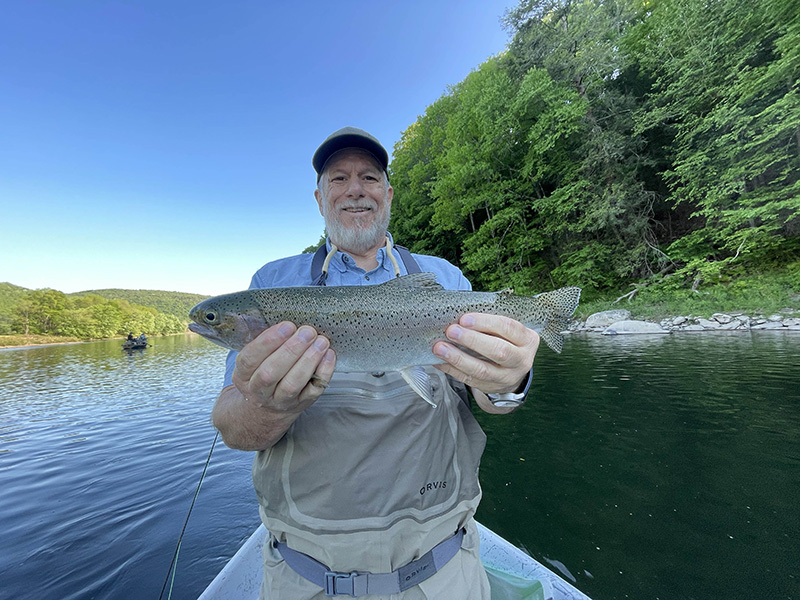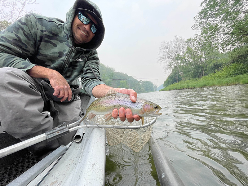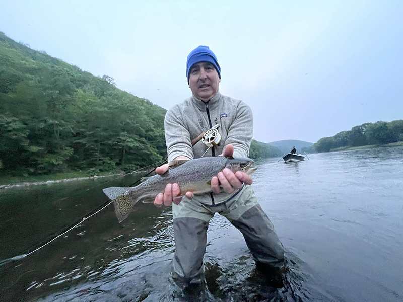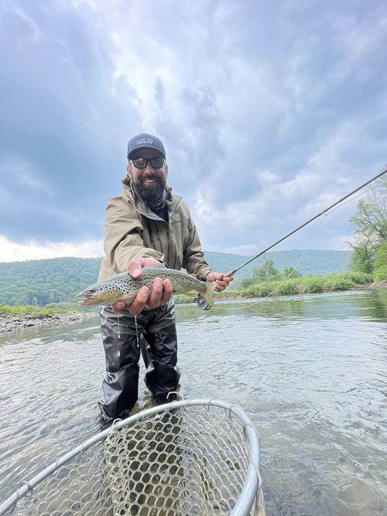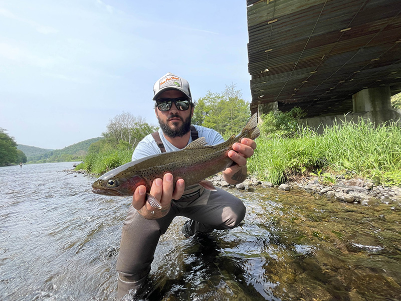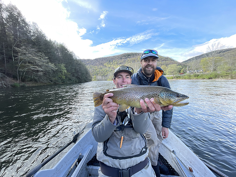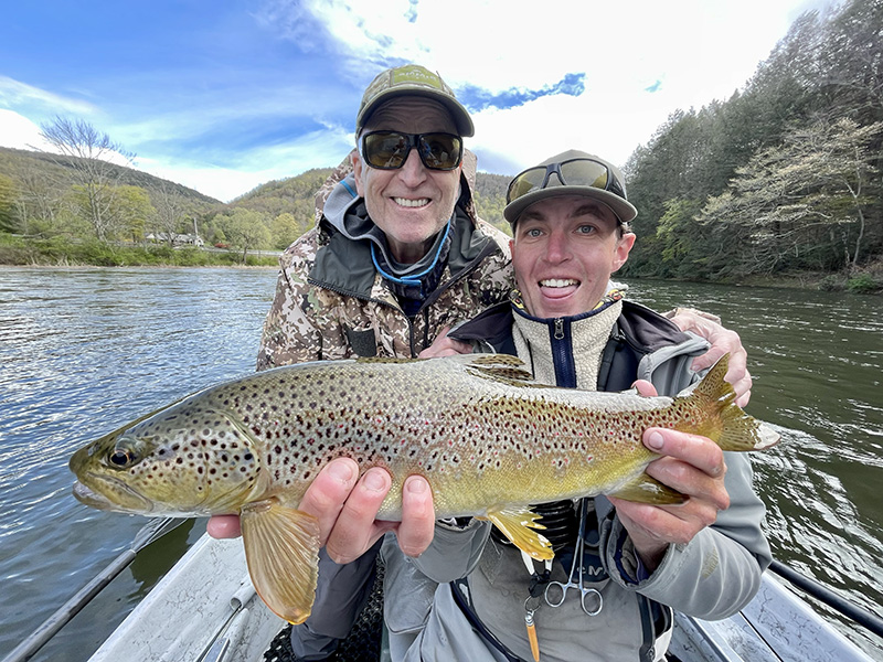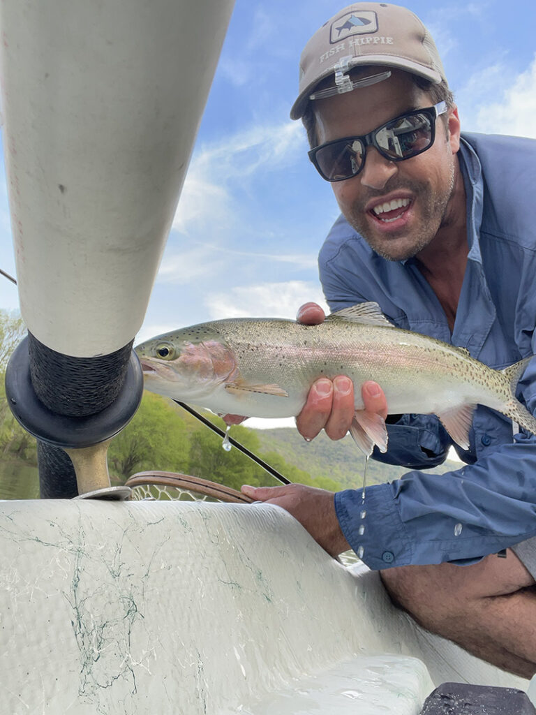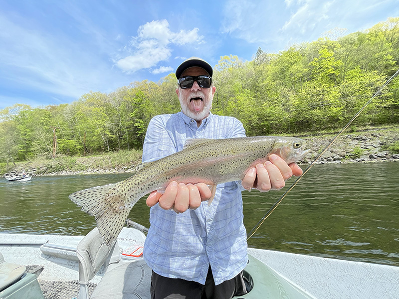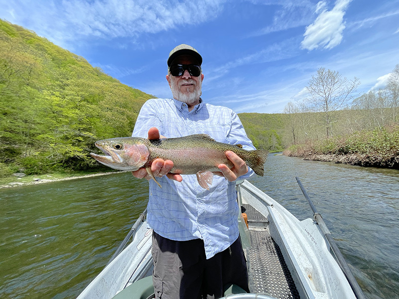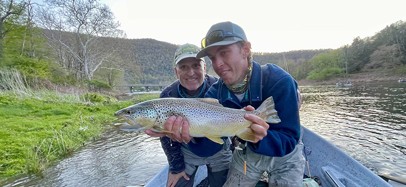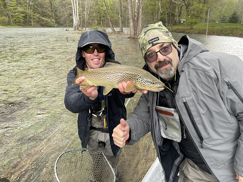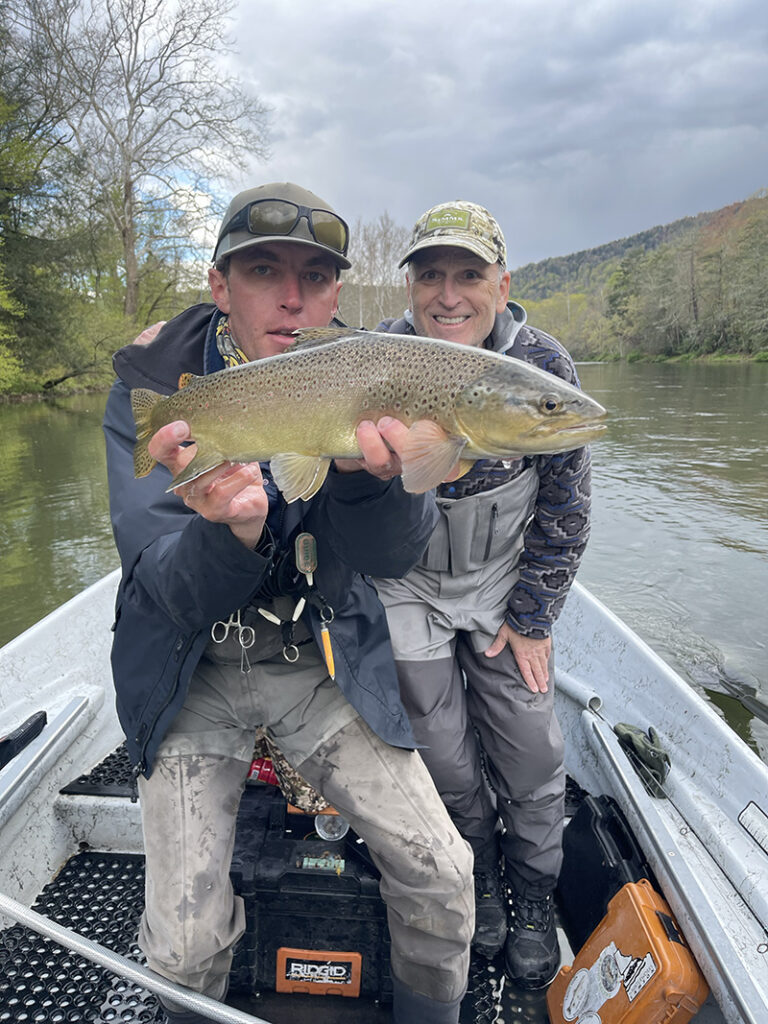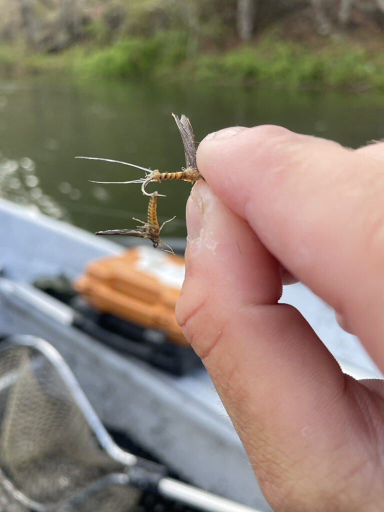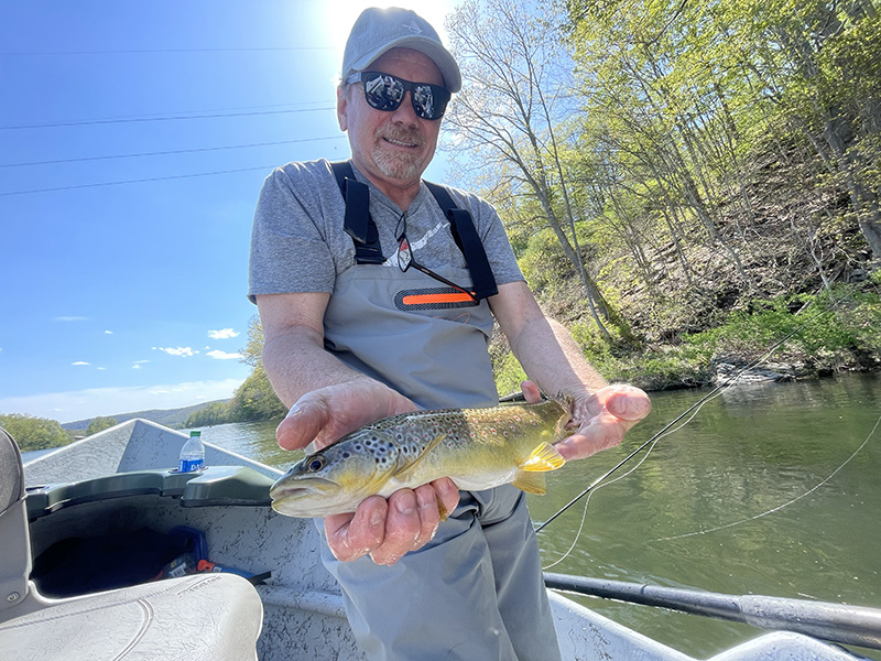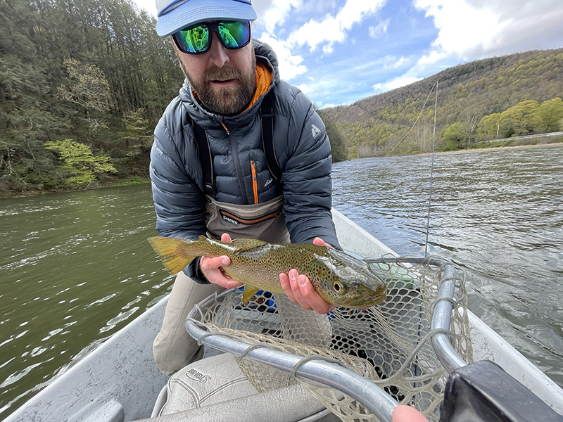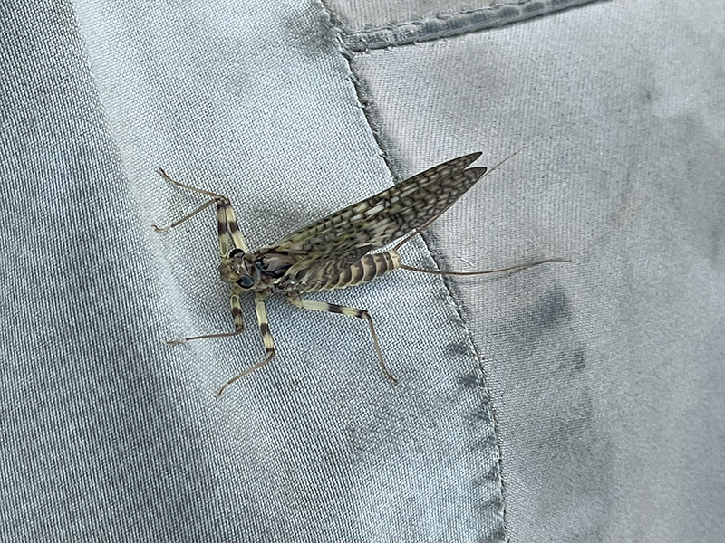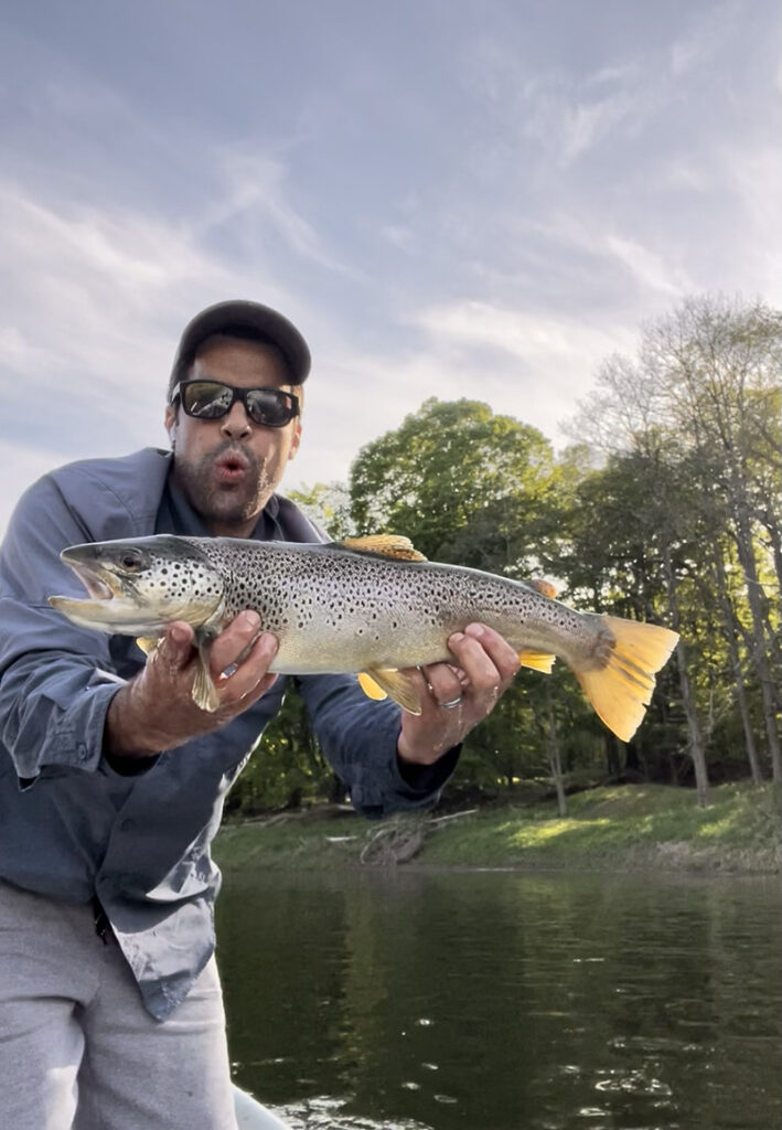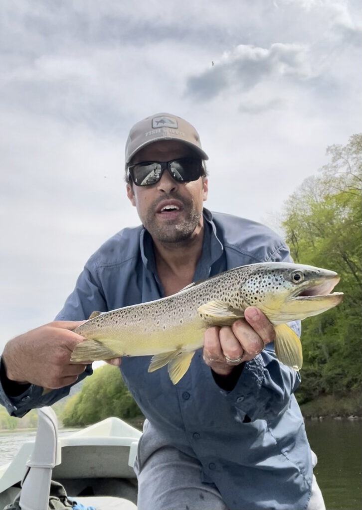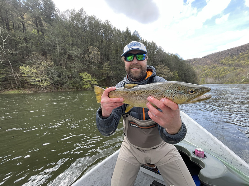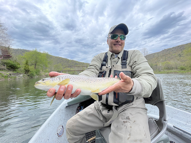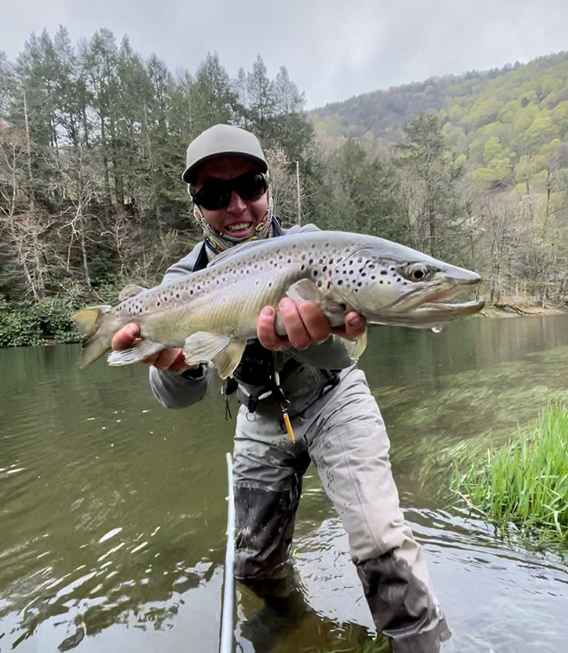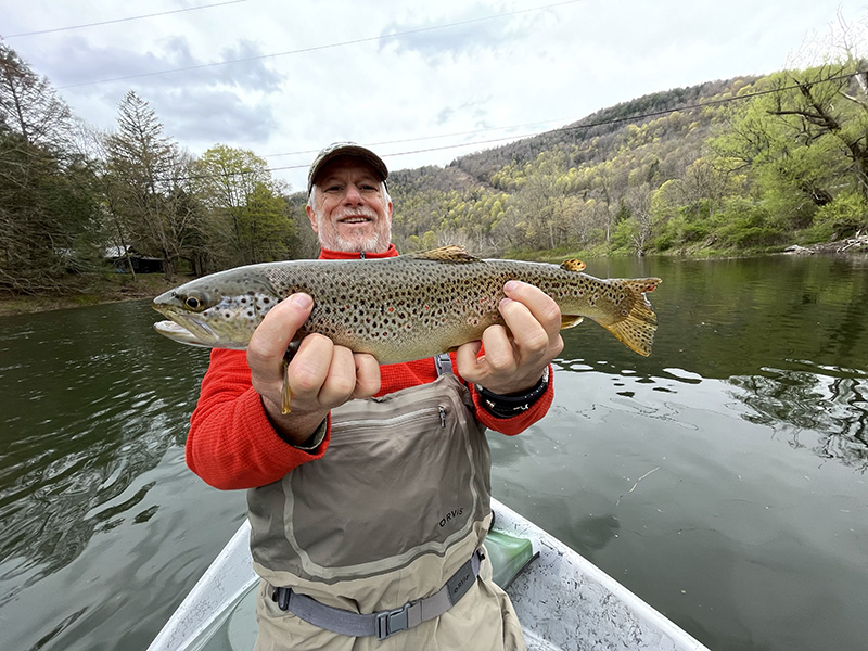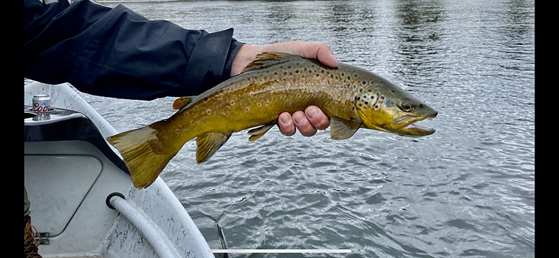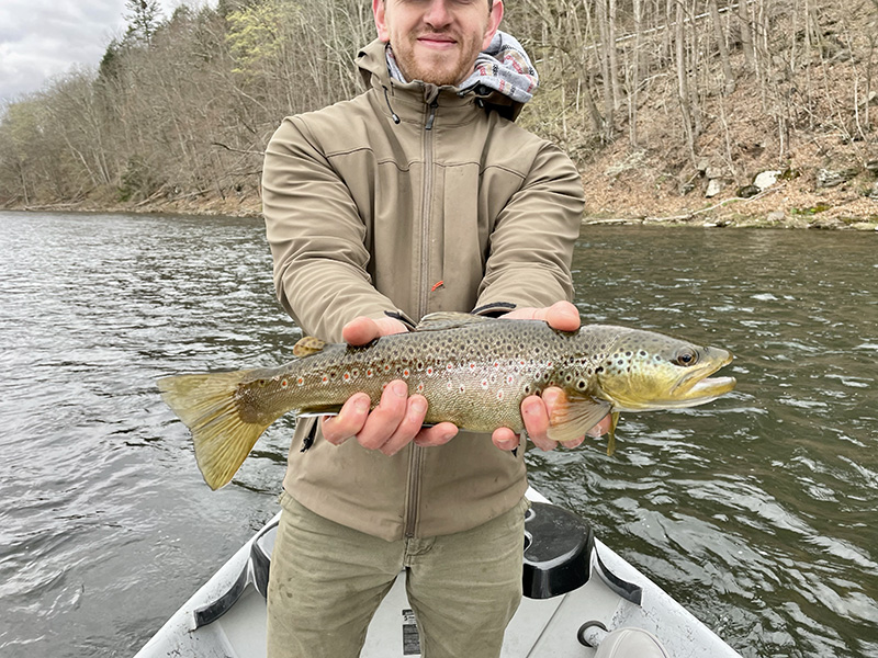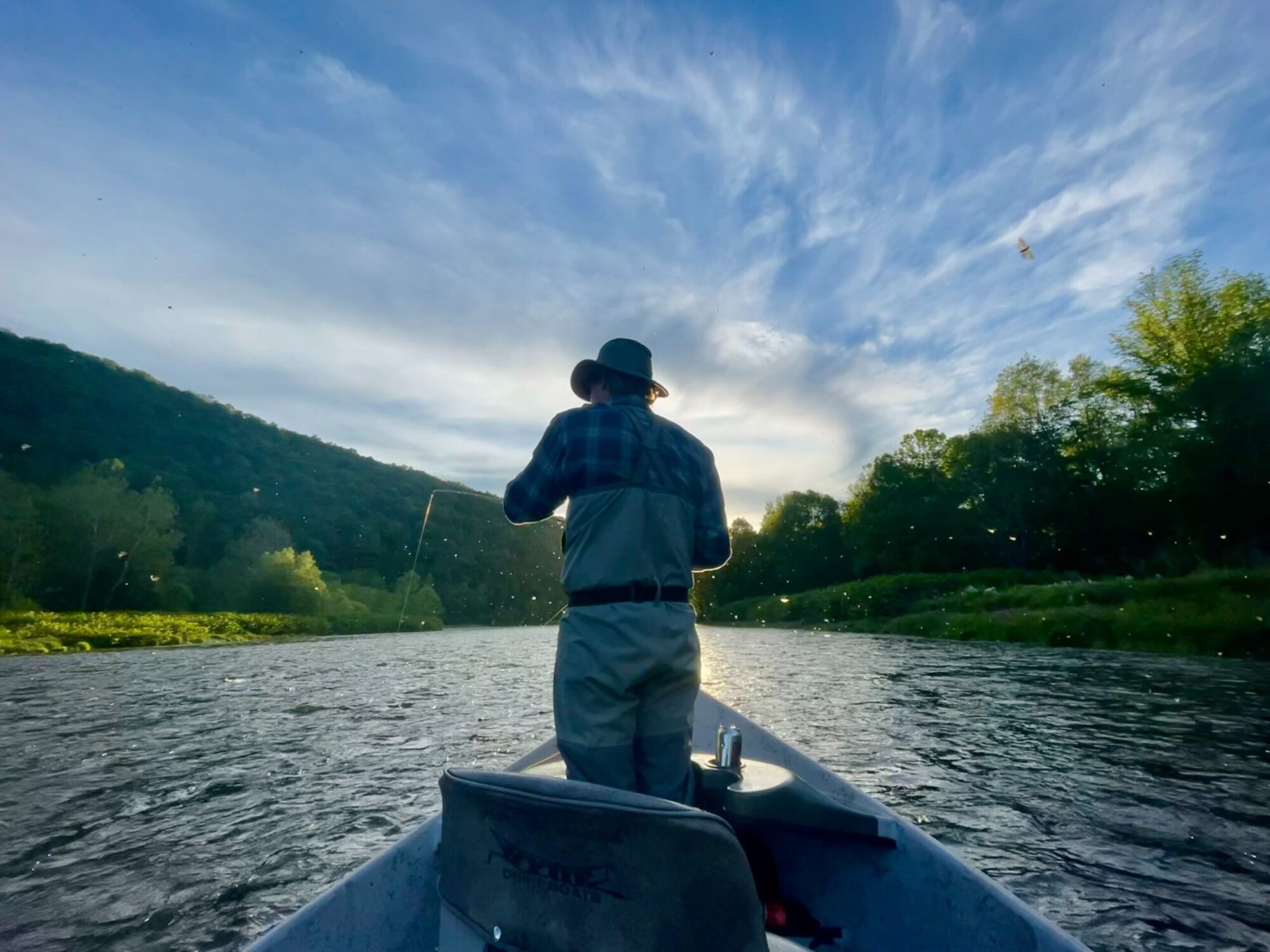
The past few weeks we have experienced low water. This has made the boats stack up and floats sometimes busy. The wading opportunities right now have never been better. We are getting a nice juicing of rain as I type this. Sulfers, Caddis, Greendrakes and Isonychia’s are all currently hatching. We have few days left in July and August. The fall is steadily booking up as well. Please CALL or TEXT the number on the contact page.
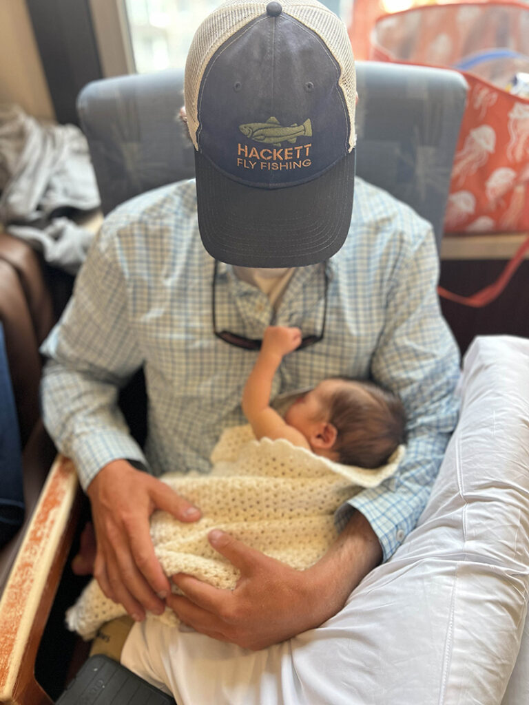
A special welcome to this world Bowen Hackett Canderelli 8 pounds 12 ounces!