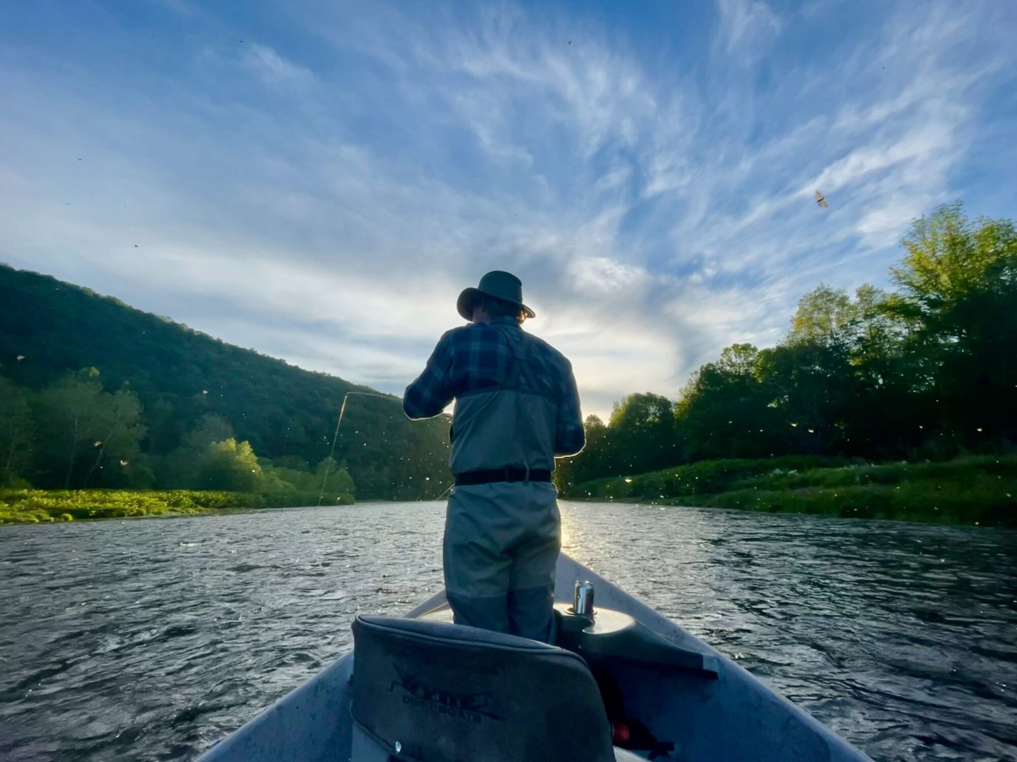
These river gauges measure the Cubic Feet Per Second (CFS) These gauges update every 15 minutes. Please use these to judge the flows of the East Branch, West Branch, Main Stem, Beaverkill and Willowemoc Rivers.
BOOKMARK THIS PAGE SO YOU CAN FIND IT EASILY
WEST BRANCH DELAWARE RIVER
Stilesville
Hale Eddy
EAST BRANCH DELAWARE RIVER
Downsville
Harvard
Fishs Eddy
BEAVERKILL RIVER
Cooks Falls
DELAWARE RIVER (MAINSTEM)
Lordville
Calicoon
Montegue NJ
